Alcaidesa Marina Nautical Routes, by Antonio Valbuena, Part 3: Alcaidesa Marina to Barbate
In today’s passage we will be sailing through the southern coast of the Spanish mainland up to the traditional fishing town of Barbate, Costa del Luz.
This coastline feels, and indeed is, very different from the Costa del Sol. Located in between the two Costa’s, boat owners mooring at Alcaidesa Marina really do get the best of both worlds.

Set out early in the morning, as 36 Nautical miles of sailing lie ahead. What’s more, it’s best to sail when there are easterly winds.
Head towards Tarifa, the southernmost tip of the Iberian Peninsula and the point where the Mediterranean Sea and the Atlantic Ocean meet.
Highlights of this trip include the biodiversity of the Strait, as well as the aura of a coastline weathered by wind and currents with a notable absence of built-up areas.

You can make a stop in the town of Tarifa if you fancy, and although it doesn’t have a marina, you can tie up in the fishing harbour while you visit the nearby old town, taking a stroll through its narrow winding streets or heading to one of its wonderful beaches.
Back on the route, another stop worth making, or at least approaching, is the beach and village of Bolonia.

From the sea, you can make out the ruins of the ancient Roman city of Baelo Claudia, which is over 2,000 years old and in its heyday was a major city with a trading and fishing port, famous for the Garum Baelo fish sauce that was known throughout the Roman Empire. Bolonia does not have a port.
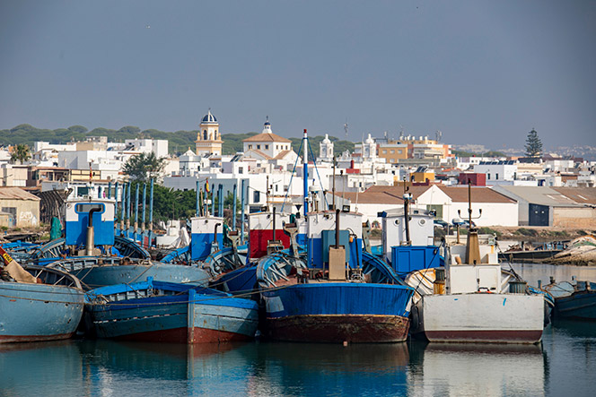
Follow the coastline northwest, along the way you’ll see the fishing village and beach of Zahara de los Atunes to starboard, until finally arriving at the port of Barbate. The marina is somewhat removed from the town centre but after a 15-minute walk you’ll arrive at the heart of this town, surrounded by its bustling life.
You can also visit its wonderful beach and savour the local cuisine, famous for its bluefin tuna dishes prepared like nowhere else in Spain.

Nearby excursions include the unmissable ‘Vejer de la Frontera’, with fantastic views, old town architecture, historical mills and top-rated cuisine.
You can also head off to the beaches of Palmar, which are a a surfer’s paradise, or the quaint fishing village of Zahara de los Atunes.
Meteorology
This time you’ll be crossing the Strait from east to west and back, so the most important thing to bear in mind is that there’ll always be an incoming current into the Mediterranean that is offset by outgoing tidal currents. When planning the trip, it’s paramount to take this incoming current into account. You should also remember that westerly winds pick up speed when passing through the Strait, so we recommend undertaking the trip with easterly winds.
Tips
Carefully monitor weather conditions before sailing, as you’ll be cruising through the Strait of Gibraltar, one of the most complicated areas to navigate in the world because of its weather and maritime traffic.
Pay very close attention to the ferries and cargo ships entering and leaving the Bay of Algeciras, and on your approach to Tarifa watch out for the ferries entering the port, especially in summer as the traffic increases considerably.
An important point is manoeuvring around Isla de Tarifa, which you should clear by at least 0.5 miles due to the sandbanks. In this area, the current also whips up large waves and the odd breaker.
Especially in spring and early summer, take care when approaching Barbate with the ‘almadraba’ fishing nets, an age-old Andalusian technique for catching bluefin tuna.

• Type of navigation: Coastal
• Distance: 36 Nautical Miles
• Duration: 2 days
• Degree of difficulty: Medium
• Terminates in base port: Yes
• Towns: Barbate
• GPS: 36°10’45.7”N 5°55’27.7”W
• Coast: Bay of Algeciras, Strait of Gibraltar and Costa de La Luz
*Owners and crews are responsible for making their own passage planning and the above should not be used for passage planning but rather as a useful guide.